Naviagation with Maps & Grids
![]()
 Maps......
![]() by ReadyMom Sun Aug 12, 2018 6:39 pm
by ReadyMom Sun Aug 12, 2018 6:39 pm
https://thesurvivalmom.com/six-maps-you-need-urban-evacuation/
Let’s assume an urban disaster scenario, and you must leave quickly. How will you find your way? What maps do you need?
We’re talking about the printed, paper in hand type. Don’t plan to rely on a GPS. They are as reliable as their batteries, and constant use could mean the unit is soon powerless. Also, any electronic device can break or just quit working.
So before you worry about maps, ---CONTINUED at LINK---
_________________
Anything I post may NOT be used for commercial purposes or any type of 'For-Profit' distribution.


ReadyMom- Admin
- Posts : 7279
Join date : 2018-08-11
![]()
![]()
Naviagation with Maps & Grids
![]() by ReadyMom Sat Sep 29, 2018 5:22 pm
by ReadyMom Sat Sep 29, 2018 5:22 pm
(1)Land Navigation Manual: Finding Your Bearings & Topo Maps
https://www.artofmanliness.com/articles/land-navigation-compass-topo-map/
The skill of land navigation is used by soldiers and outdoorsmen as a back-up to modern navigation technology, and by hobbyists who enjoy orienteering without gadgets. It’s a skill that’s both practical and just plain fun to know — figuring out your location or plotting points using coordinates is a puzzle that requires you to use math and good old fashioned observation. . . . ---CONTINUED---
(2) Land Navigation Manual: Orienting With a Map & Compass
https://www.artofmanliness.com/articles/orienting-with-a-map-compass/
(snip) ... we still need to learn where we are in relation to our map — how to orient ourselves. So in this installment, we’ll go over the skills you need to do just that. ---CONTINUED---
(3) Land Navigation Manual: How to Use the Military Grid Reference System
https://www.artofmanliness.com/articles/land-navigation-manual-how-to-use-the-military-grid-reference-system/
With the aid of modern technology at the outset, you can get a whole lot more specific with your land nav; rather than just finding your way to a major landmark, you can locate a little stake in the ground.
To do that, you plot MGRS (military grid reference system) coordinates on your map before you head out. Why would you want to employ this old/new method of land nav? ---CONTINUED---
_________________
Anything I post may NOT be used for commercial purposes or any type of 'For-Profit' distribution.
ReadyMom- Admin
- Posts : 7279
Join date : 2018-08-11
![]()
![]()
Re: Naviagation with Maps & Grids
![]() by ReadyMom Sun Sep 30, 2018 12:52 am
by ReadyMom Sun Sep 30, 2018 12:52 am
https://www.artofmanliness.com/articles/how-to-read-a-topographic-map/
Today we’re going to discuss how to read terrain off of a map. Reading terrain is more about artistic visualization than it is science. There are three major factors that aid in the visualization of terrain from a 2d map:
- Contour Lines
Colors
Shading
The ability to fuse these major factors is the most critical skill one can learn when using a topographic map. The primary purpose of a topographic map is ---CONTINUED---
_________________
Anything I post may NOT be used for commercial purposes or any type of 'For-Profit' distribution.
ReadyMom- Admin
- Posts : 7279
Join date : 2018-08-11
![]()
![]()
Re: Naviagation with Maps & Grids
![]() by ReadyMom Sun Sep 30, 2018 9:50 am
by ReadyMom Sun Sep 30, 2018 9:50 am
https://www.artofmanliness.com/articles/more-than-just-finding-north-understanding-the-compass/
(Snip) ... relearning the use of an old tool, one which guided men through the darkest jungles and the most unforgiving seas for generations…the compass. In the following sections we will review the construction and handling of the compass and will examine the technique for basic compass-based navigation. ---CONTINUED---
Last edited by ReadyMom on Wed Feb 03, 2021 11:35 am; edited 1 time in total
_________________
Anything I post may NOT be used for commercial purposes or any type of 'For-Profit' distribution.
ReadyMom- Admin
- Posts : 7279
Join date : 2018-08-11
![]()
![]()
Re: Naviagation with Maps & Grids
![]() by ReadyMom Fri Nov 16, 2018 11:32 am
by ReadyMom Fri Nov 16, 2018 11:32 am
http://www.askaprepper.com/5-maps-you-should-have-at-home/?utm_source=newsletter&utm_medium=AAP
Maps take some skill to use properly, but unlike a GPS they don’t need batteries. They won’t stop working if some mad dictator hits us with an EMP attack, the military decides to scramble the signal for unencrypted (i.e. all non-military) receivers, or you just drop it on pavement. They’re robust, low-tech and, in a crisis, invaluable. If you want to be prepared, and your plans involve anything more than sitting quietly at home, you need to have maps.
(SNIP)
Not all maps are created equal, though. Just go to Amazon – or even your local book store – and take a look in the map section. There’s a bewildering range of them out there, and you can’t carry them all. To help you narrow the choices a bit, here are the essential maps you should have in your bug-out bag. ---CONTINUED---
_________________
Anything I post may NOT be used for commercial purposes or any type of 'For-Profit' distribution.
ReadyMom- Admin
- Posts : 7279
Join date : 2018-08-11
![]()
![]()
Re: Naviagation with Maps & Grids
![]() by ReadyMom Wed Dec 19, 2018 10:20 pm
by ReadyMom Wed Dec 19, 2018 10:20 pm
_________________
Anything I post may NOT be used for commercial purposes or any type of 'For-Profit' distribution.
ReadyMom- Admin
- Posts : 7279
Join date : 2018-08-11
![]()
![]()
Re: Naviagation with Maps & Grids
![]() by rick1 Mon Dec 24, 2018 11:55 am
by rick1 Mon Dec 24, 2018 11:55 am
https://authorizedboots.com/2018/08/learn-map-reading-skills-never-get-lost/
_________________
''EVERYDAY'S A HOLIDAY, EVERY MEAL'S A FEAST, SEMPER FI DO OR DIE''

rick1- Posts : 3397
Join date : 2018-08-14
![]()
![]()
Re: Naviagation with Maps & Grids
![]() by ReadyMom Sat Dec 29, 2018 11:36 pm
by ReadyMom Sat Dec 29, 2018 11:36 pm
http://suburbanprepper.wordpress.com/2008/05/08/maps/
Often taken for granted, maps will be an essential element for gathering intel, navigation and planning in a SHTF world. Have you ever thought about the effort and resources it took to make a map? Cartography has got to be a difficult thing to do after a SHTF event. Who has time to draw maps when you are fighting off zombie hordes or biker gangs just to get to a clean water supply?
GPS is going down so don't count on your Garmin for navigation. I doubt the US will have the resources to keep the civilian GPS satellites flying when they have limited resources just to keep the country running. Forget google maps too. The Internet has an infrastructure (somewhere) and without Cisco and the cable companies maintaining the cables and switches, there will be no Internet (I don't know how I will make it!) So it is back to the good ole paper maps!
Here is the good news: ---CONTINUED---
_________________
Anything I post may NOT be used for commercial purposes or any type of 'For-Profit' distribution.
ReadyMom- Admin
- Posts : 7279
Join date : 2018-08-11
![]()
![]()
Re: Naviagation with Maps & Grids
![]() by ReadyMom Fri Mar 01, 2019 2:20 pm
by ReadyMom Fri Mar 01, 2019 2:20 pm
Pencil, Paper and Stars: The Handbook of Traditional and Emergency Navigation
https://b-ok.cc/book/609235/7bbdef
198 page FREEE PDF
 Electronic navigation systems are extremely reliable but when they do fail onboard repair at sea is rarely possible. Also, their operation depends on a continuous supply of electricity. Should this fail they will stop and unexpectedly lacking the means of position finding, chart plotting and route planning how can the modern navigator continue their passage in a safe and seamanlike manner?This user friendly book gives simple, practical, get-you-home navigation techniques, which can be used if electronic navigation systems aboard a yacht fail.Shows you how to: 1. Understand the principles behind the techniques you are using to gain confidence in your answers. To help - these techniques will be placed in their historical context.2. See the techniques as simple and easy to use. They require no complicated mathematics or high level craft skills or any form of special skill.3. Employ every technique using materials and equipment likely to be found on every boat.4. Put these techniques into practice - every procedure contributes to making a safe and seamanlike passage. You can also practice beforehand to gain confidence in using them.
_________________
Anything I post may NOT be used for commercial purposes or any type of 'For-Profit' distribution.
ReadyMom- Admin
- Posts : 7279
Join date : 2018-08-11
![]()
![]()
Re: Naviagation with Maps & Grids
![]() by ReadyMom Wed Dec 04, 2019 10:21 am
by ReadyMom Wed Dec 04, 2019 10:21 am
Nat Geo Launched a Free Website for Printing Detailed Topographical Maps
https://petapixel.com/2016/08/06/nat-geo-launches-free-website-printing-detailed-topographical-maps/
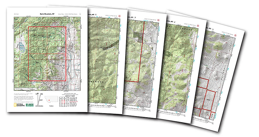 The folks at National Geographic just did a solid favor for all the adventurous outdoor photographers out there. They put every US Geological Survey (USGS) topographical map from across the United States on one easy-to-navigate site and made them easy to print out at home.
If you’ve ever gone hunting topo maps via the USGS, you know that it can be a bit of a pain because, not only is finding the quad you’re looking for more difficult, the PDFs they have available aren’t formatted for standard printer paper. ---CONTINUED---
Direct link to National Geographic maps: https://www.natgeomaps.com/trail-maps/pdf-quads
_________________
Anything I post may NOT be used for commercial purposes or any type of 'For-Profit' distribution.
ReadyMom- Admin
- Posts : 7279
Join date : 2018-08-11
![]()
![]()
Re: Naviagation with Maps & Grids
![]() by Drinkthekoolaid Wed Dec 04, 2019 10:53 am
by Drinkthekoolaid Wed Dec 04, 2019 10:53 am
Almost all of my peers are totally clueless. They only understand GPS. Without GPS they would be hopeless.
GPS wont always be around. It's a guaranteed target when we get into a war with a comparable country. Our satellite constellations are definitely getting targeted. That is saying nothing about solar storms, space garbage or Emps which are all risk to gps.
Drinkthekoolaid- Posts : 685
Join date : 2019-03-01
![]()
![]()
Re: Naviagation with Maps & Grids
![]() by ReadyMom Fri May 29, 2020 12:41 pm
by ReadyMom Fri May 29, 2020 12:41 pm
https://urbansurvivalsite.com/maps-bug-out-bag/
 (SNIP) ...In this article, we’ll cover eight types of maps to pack in your bug out bag. You don’t necessarily have to pack all eight of these, but make sure you have enough maps so that you can take detours, find alternate destinations, and never get lost. ---CONTINUED---
_________________
Anything I post may NOT be used for commercial purposes or any type of 'For-Profit' distribution.
ReadyMom- Admin
- Posts : 7279
Join date : 2018-08-11
![]()
![]()
Re: Naviagation with Maps & Grids
![]() by ReadyMom Wed Sep 16, 2020 12:12 pm
by ReadyMom Wed Sep 16, 2020 12:12 pm
https://www.artofmanliness.com/articles/paper-road-map/
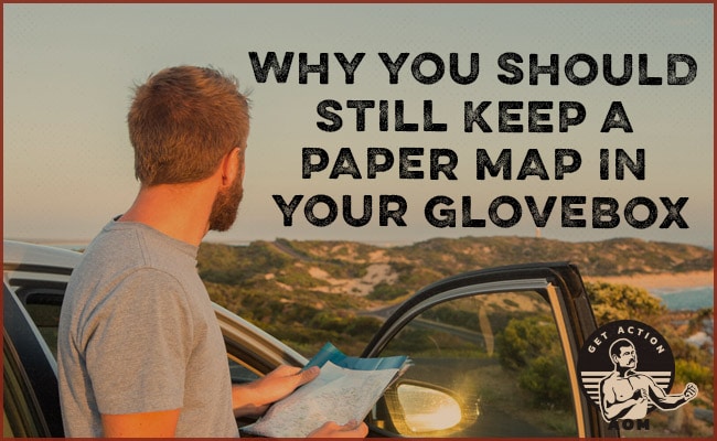 (SNIP) ... ’ve gone to using “analog” maps as my primary method of navigation, only relying on Google Maps as a back-up.
Here’s why I’ve made this navigational switch, and 7 reasons — from the practical to the philosophical — why you might consider putting a paper map back in your glovebox too: ---CONTINUED---
_________________
Anything I post may NOT be used for commercial purposes or any type of 'For-Profit' distribution.
ReadyMom- Admin
- Posts : 7279
Join date : 2018-08-11
![]()
![]()
Re: Naviagation with Maps & Grids
![]() by TRex2 Wed Sep 16, 2020 1:53 pm
by TRex2 Wed Sep 16, 2020 1:53 pm
I never use "Google" when I am on the road.
If you operate extensively in one or two states, Delorme state atlases are quite good. They generally run from one mile (Arkansas and similar sized states) per inch to 3 miles per inch(Texas). They also have contour lines, markings for boat ramps and camping, and insets for some cities.
TRex2- Posts : 2327
Join date : 2018-11-14
Age : 54
Location : SE Corner of the Ozark Redoubt
rick1 likes this post
![]()
![]()
Re: Naviagation with Maps & Grids
![]() by ReadyMom Sat Jan 16, 2021 12:10 pm
by ReadyMom Sat Jan 16, 2021 12:10 pm
https://urbansurvivalsite.com/how-to-read-a-map-contour-lines/
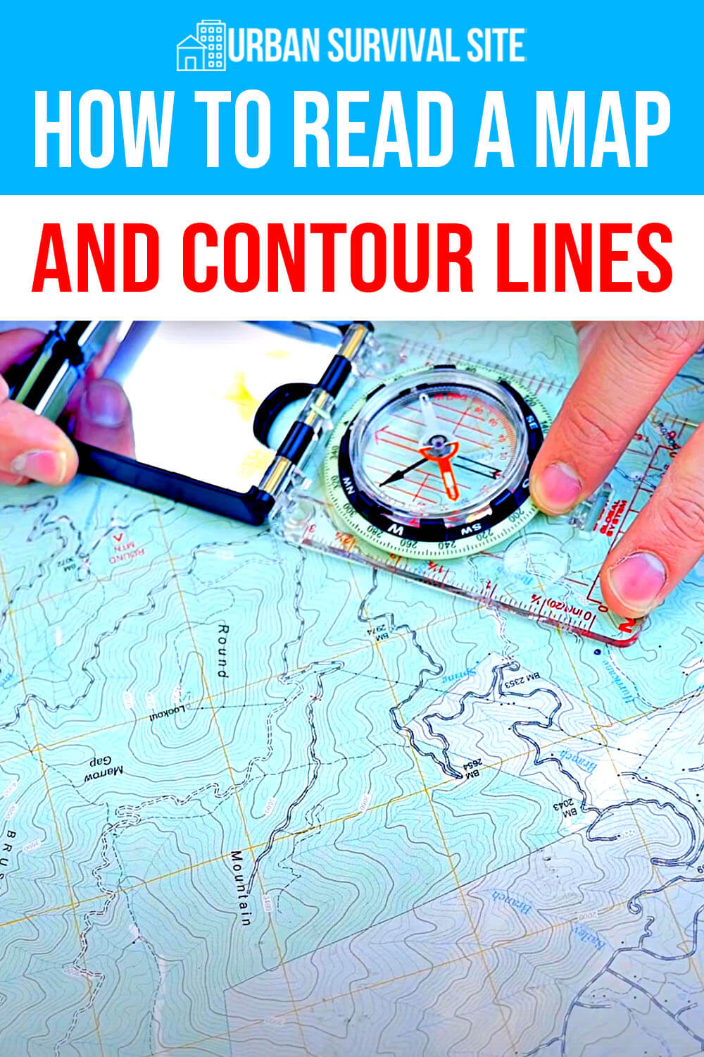 Countless times, I’ve recommended buying detailed paper maps of your local area and all the areas along the path to your bug out location. During a major disaster, satellites might be down and GPS might not be working. If that happens, you need to know how to find your way with paper maps. They will be especially important if you need to take a different route due to traffic jams, collapsed bridges, caved in tunnels, etc. ---CONTINUED---
_________________
Anything I post may NOT be used for commercial purposes or any type of 'For-Profit' distribution.
ReadyMom- Admin
- Posts : 7279
Join date : 2018-08-11
rick1 likes this post
![]()
![]()
Re: Naviagation with Maps & Grids
![]() by ReadyMom Mon Apr 25, 2022 10:36 am
by ReadyMom Mon Apr 25, 2022 10:36 am
https://rethinksurvival.com/road-atlas-for-bug-out/
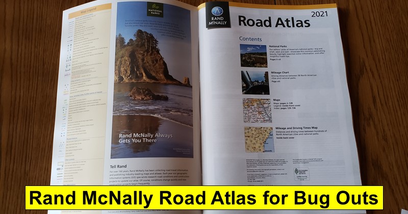 (SNIP) ... I had local maps of the Seattle area and even a map of the Pacific Northwest, I realized that I didn’t have a quality map of the entire United States which could come in handy in certain situations. So, I decided to pick up a Rand McNally 2021 Road Atlas. ---CONTINUED---
_________________
Anything I post may NOT be used for commercial purposes or any type of 'For-Profit' distribution.
ReadyMom- Admin
- Posts : 7279
Join date : 2018-08-11
rick1 likes this post
![]()
![]()
Re: Naviagation with Maps & Grids
![]() by ReadyMom Sat Oct 08, 2022 10:27 am
by ReadyMom Sat Oct 08, 2022 10:27 am
https://urbansurvivalsite.com/paper-maps-every-prepper-should-have/
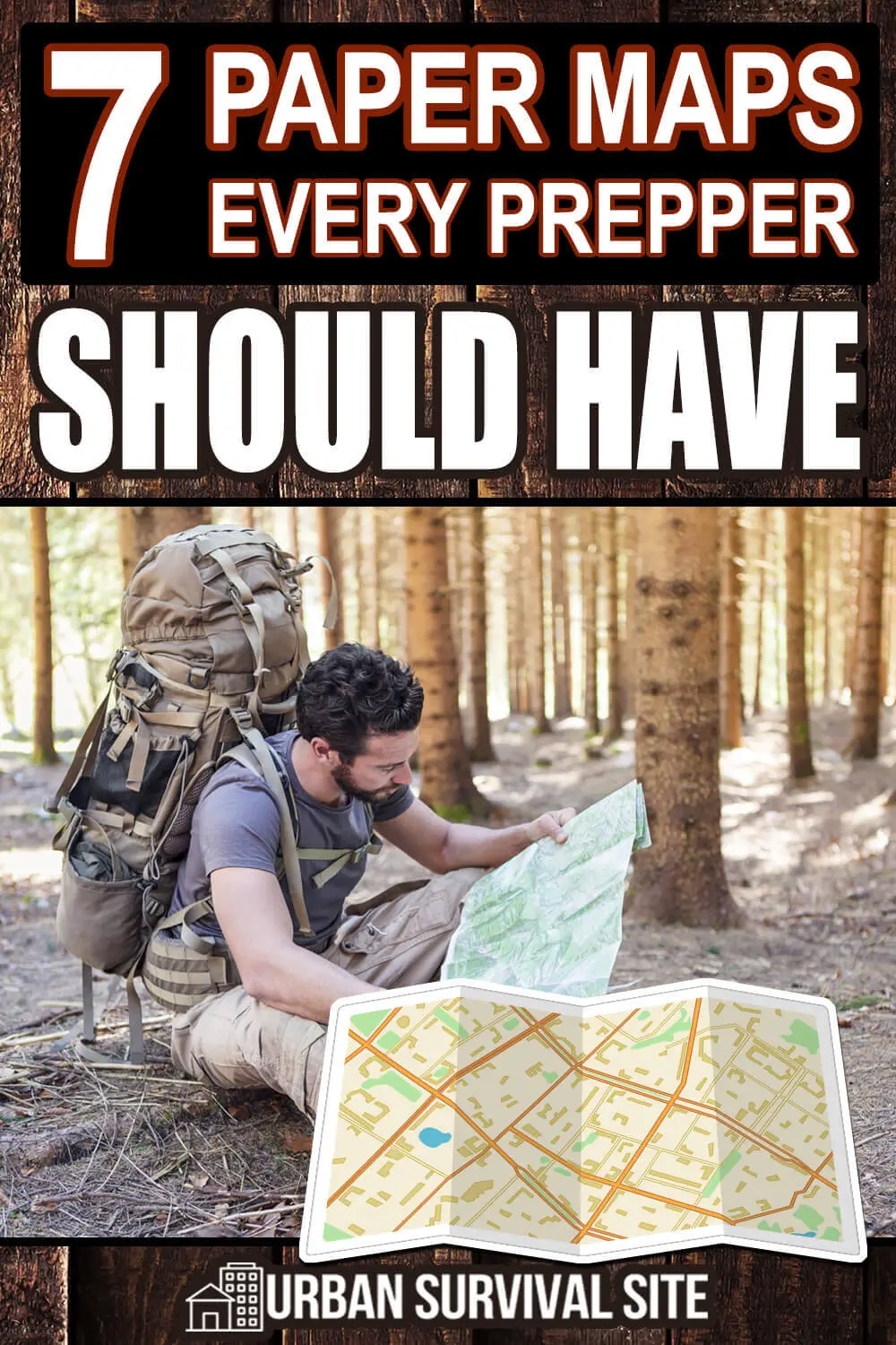 If you can’t access the internet, how will you be able to plan an urban or wilderness escape route during a disaster? The answer is with a group of up-to-date printed maps and a compass.
Here is a list of paper maps every prepper should have. ---CONTINUED---
_________________
Anything I post may NOT be used for commercial purposes or any type of 'For-Profit' distribution.
ReadyMom- Admin
- Posts : 7279
Join date : 2018-08-11
rick1 likes this post
![]()
![]()
Re: Naviagation with Maps & Grids
![]() by ReadyMom Tue Apr 04, 2023 11:11 am
by ReadyMom Tue Apr 04, 2023 11:11 am
https://www.theorganicprepper.com/how-to-use-a-compass-and-a-map/
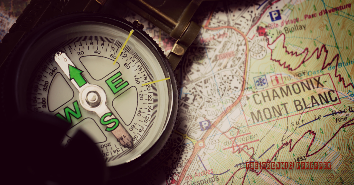 (SNIP) ... or many, maps symbolize adventure, and the planning process grasps people’s interest the world over. Within a disaster situation, maps become extremely valuable. Maps can help tell you where you are, where you need to go, and how to get there.
 So, how do you utilize a compass and a map to determine the way from Point A to Point B?
Let’s take a closer look how to shoot an azimuth below. ---CONTINUED---
_________________
Anything I post may NOT be used for commercial purposes or any type of 'For-Profit' distribution.
ReadyMom- Admin
- Posts : 7279
Join date : 2018-08-11
rick1 likes this post
![]()
![]()
![]()


|
|
|